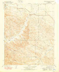
1941 Map of Kreyenhagen Hills
USGS Topo · Published 1950About this map
Pleasant Valley and the surrounding Kreyenhagen Hills define this western Fresno County landscape as it was surveyed in the mid-1930s. The terrain is marked by a series of deep canyons and seasonal drainages, including Deadman Canyon, Garcia Canyon, and Mantes Canyon, which flow toward the valley floor. Human activity is centered on isolated ranching outposts and transportation corridors. The Coalinga and Bakersfield Road serves as the primary artery through the northern portion of the quadrangle, linking the region's remote settlements.
Find a feature on this map
24 named features on this map. Tap any name to fly to it.
Don’t see what you’re looking for? This feature index may not catch every label — zoom into the map to look around manually.
Map Details
Editions of this 1941 Kreyenhagen Hills Map
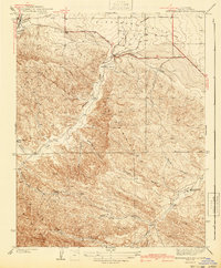
2 editions found
Other maps of this area

1912 · Coalinga
USGS Topo · 1:125,000

1914 · Cholame
USGS Topo · 1:125,000

1915 · Cholame
USGS Topo · 1:125,000

1917 · Cholame
USGS Topo · 1:125,000

1930 · Canoas Creek
USGS Topo · 1:31,680

1933 · Guijarral Hills
USGS Topo · 1:31,680

1934 · The Dark Hole
USGS Topo · 1:31,680

1934 · Reef Ridge
USGS Topo · 1:31,680

1934 · Canoas Creek
USGS Topo · 1:31,680

1936 · Kreyenhagen Hills
USGS Topo · 1:31,680