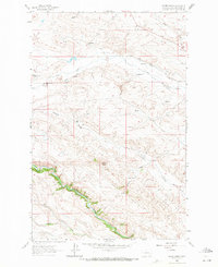
1963 Map of Krone Ranch
USGS Topo · Published 1971About this map
The Dearborn River snakes through the southern reaches of this landscape, its steep embankments contrasting with the ranchlands to the north. This 1960s-era survey documents a network of family-held territories, including the Krone Ranch and Bernier Ranch, alongside smaller homesteads like La Chapelle Place. The presence of the Dearborn Canal and the Ditch system near Flat Creek indicates a landscape heavily dependent on water management for agriculture and livestock.
Find a feature on this map
25 named features on this map. Tap any name to fly to it.
Don’t see what you’re looking for? This feature index may not catch every label — zoom into the map to look around manually.
Map Details
Editions of this 1963 Krone Ranch Map
2 editions found
Other maps of this area

1943 · Hogan
USGS Topo · 1:125,000

1955 · Choteau
USGS Topo · 1:250,000

1957 · Choteau
USGS Topo · 1:250,000

1958 · Choteau
USGS Topo · 1:250,000
1961 · Comb Rock
USGS Topo · 1:24,000

1962 · Choteau
USGS Topo · 1:250,000
1962 · Bowmans Corners
USGS Topo · 1:24,000
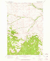
1962 · Johnson Mountain
USGS Topo · 1:24,000
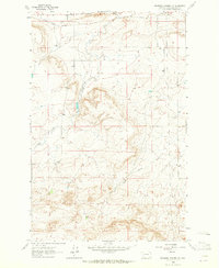
1963 · Bowmans Corners NW
USGS Topo · 1:24,000
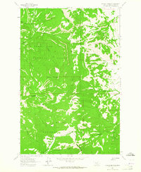
1963 · Blowout Mountain
USGS Topo · 1:24,000
Featured Places
- Lower Ellis Place, MT
- La Chapelle Place, MT
- Upper Ellis Place, MT
- Lewis and Clark County, MT
- United States