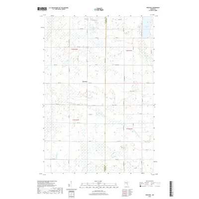
2019 Map of Kroschel
USGS Topo · Published 2019About this map
Kroschel and the surrounding borderlands of Kanabec and Pine counties are defined by an intricate network of wetlands and small water bodies. The settlement of Kroschel is situated along 330th Ave, serving as a central point in a landscape drained by the S Br Grindstone River and W Br Grindstone River. This 2019 survey shows the area's agricultural and rural residential character, with a grid of county roads such as Co Hwy 27 and Co Rd 29 providing access to local landmarks.
Find a feature on this map
50 named features on this map. Tap any name to fly to it.
Don’t see what you’re looking for? This feature index may not catch every label — zoom into the map to look around manually.
Map Details
Editions of this 2019 Kroschel Map
This is the sole edition of this map. No revisions or reprints were ever made.
Other maps of this area

1953 · Duluth
USGS Topo · 1:250,000

1953 · Stillwater
USGS Topo · 1:250,000

1955 · Stillwater
USGS Topo · 1:250,000

1958 · Stillwater
USGS Topo · 1:250,000

1958 · Duluth
USGS Topo · 1:250,000

1961 · Sandstone
USGS Topo · 1:62,500

1961 · Brook Park
USGS Topo · 1:62,500

1961 · Pine City
USGS Topo · 1:62,500

1965 · Stillwater
USGS Topo · 1:250,000

1968 · Kroschel NW
USGS Topo · 1:24,000