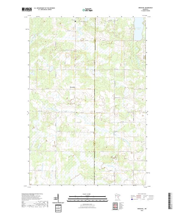
2022 Map of Kroschel
USGS Topo · Published 2022About this map
The settlement of Kroschel sits at a crossroads in this lake-strewn portion of the upper Midwest, where the boundary between Kanabec and Pine Counties divides the landscape. This region is defined by its complex hydrography, featuring numerous small wetlands and significant water bodies like Grindstone Lake and the smaller Featherbed Lake. The terrain is drained by meandering watercourses including the S Br Grindstone River and Pokegama Cr, which cut through a grid of rural roads named for early settlers and local landmarks. To the north, Trinity Cem remains a primary genealogical marker for the surrounding rural community. The map reveals a transition from the structured township system of t42n r22w into the natural, marshy drainage basins that characterize this part of Minnesota.
Find a feature on this map
49 named features on this map. Tap any name to fly to it.
Don’t see what you’re looking for? This feature index may not catch every label — zoom into the map to look around manually.
Map Details
Editions of this 2022 Kroschel Map
This is the sole edition of this map. No revisions or reprints were ever made.
Other maps of this area

1953 · Duluth
USGS Topo · 1:250,000

1953 · Stillwater
USGS Topo · 1:250,000

1955 · Stillwater
USGS Topo · 1:250,000

1958 · Stillwater
USGS Topo · 1:250,000

1958 · Duluth
USGS Topo · 1:250,000

1961 · Sandstone
USGS Topo · 1:62,500

1961 · Brook Park
USGS Topo · 1:62,500

1961 · Pine City
USGS Topo · 1:62,500

1965 · Stillwater
USGS Topo · 1:250,000

1968 · Kroschel NW
USGS Topo · 1:24,000