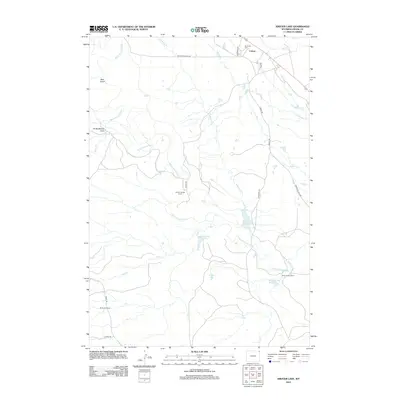
2012 Map of Kruger Lake
USGS Topo · Published 2012About this map
Colony sits in the far northeastern corner of Wyoming, serving as a focal point for the region's industrial and ranching operations. The landscape is defined by the winding course of the Belle Fourche River, which cut through the terrain near landmarks like Bear Gulch and the Christofferson Dam. This area is characterized by its specialized transit network, specifically the Bentonite Haul Rd and the Bentonite Spur, indicating the significance of bentonite mining to the local economy.
Find a feature on this map
26 named features on this map. Tap any name to fly to it.
Don’t see what you’re looking for? This feature index may not catch every label — zoom into the map to look around manually.
Map Details
Editions of this 2012 Kruger Lake Map
This is the sole edition of this map. No revisions or reprints were ever made.
Other maps of this area

1901 · Aladdin
USGS Topo · 1:125,000

1903 · Aladdin
USGS Topo · 1:125,000

1954 · The Forks
USGS Topo · 1:24,000

1954 · Gillette
USGS Topo · 1:250,000

1955 · Gillette
USGS Topo · 1:250,000

1957 · Mona
USGS Topo · 1:62,500

1957 · Colony
USGS Topo · 1:62,500

1958 · Gillette
USGS Topo · 1:250,000

1958 · Beulah
USGS Topo · 1:62,500

1962 · Gillette
USGS Topo · 1:250,000