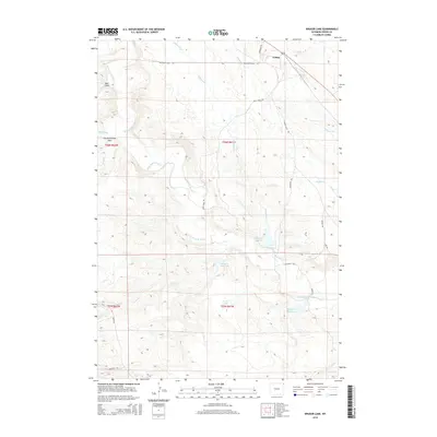
2015 Map of Kruger Lake
USGS Topo · Published 2015About this map
Colony sits near the South Dakota border in Crook County, serving as a focal point for an area defined by heavy industry and water management. The landscape is heavily influenced by the presence of the Bentonite Haul Rd and Colony Haul Rd, indicating the region's active mineral extraction history. The Belle Fourche River meanders through the western portion of the map, carving through terrain near Bear Gulch. Human engineering of this arid landscape is evident through numerous water storage features, including Christofferson Dam, Kilpatrick Reservoir, and Kruger Lake. Local transit is facilitated by a network of specialized routes such as Mule Shoe Rd and Kilpatrick Rd, which connect the scattered reservoirs and creek drainages including Chicago Cr and Deep Cr.
Find a feature on this map
25 named features on this map. Tap any name to fly to it.
Don’t see what you’re looking for? This feature index may not catch every label — zoom into the map to look around manually.
Map Details
Editions of this 2015 Kruger Lake Map
This is the sole edition of this map. No revisions or reprints were ever made.
Other maps of this area

1901 · Aladdin
USGS Topo · 1:125,000

1903 · Aladdin
USGS Topo · 1:125,000

1954 · The Forks
USGS Topo · 1:24,000

1954 · Gillette
USGS Topo · 1:250,000

1955 · Gillette
USGS Topo · 1:250,000

1957 · Mona
USGS Topo · 1:62,500

1957 · Colony
USGS Topo · 1:62,500

1958 · Gillette
USGS Topo · 1:250,000

1958 · Beulah
USGS Topo · 1:62,500

1962 · Gillette
USGS Topo · 1:250,000