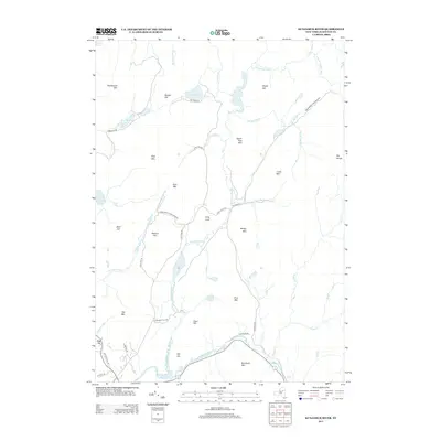
2013 Map of Kunjamuk River
USGS Topo · Published 2013About this map
The Adirondack Park Preserve defines this landscape in Hamilton County, where the Kunjamuk River winds through a high-elevation valley before joining the Sacandaga River near Kunjamuk Bay. The geography is dominated by a series of named peaks and ridges, including Floodwood Mtn, Dug Mtn, and Oak Mtn, interspersed with smaller water bodies like Elm Lake and the Dug Mountain Ponds.
Find a feature on this map
53 named features on this map. Tap any name to fly to it.
Don’t see what you’re looking for? This feature index may not catch every label — zoom into the map to look around manually.
Map Details
Editions of this 2013 Kunjamuk River Map
This is the sole edition of this map. No revisions or reprints were ever made.
Other maps of this area

1898 · Thirteenth Lake
USGS Topo · 1:62,500

1899 · Indian Lake
USGS Topo · 1:62,500

1902 · Indian Lake
USGS Topo · 1:62,500

1907 · Lake Pleasant
USGS Topo · 1:62,500

1910 · Stony Creek
USGS Topo · 1:62,500

1950 · Utica
USGS Topo · 1:250,000

1954 · Lake Pleasant
USGS Topo · 1:62,500

1954 · Thirteenth Lake
USGS Topo · 1:62,500

1954 · Indian Lake
USGS Topo · 1:62,500

1954 · Harrisburg
USGS Topo · 1:62,500