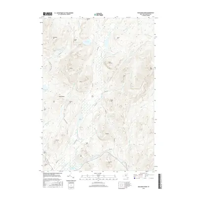
2016 Map of Kunjamuk River
USGS Topo · Published 2016About this map
Speculator sits as a primary point of interest in this high-altitude landscape where the Sacandaga River and the winding Kunjamuk River converge. The topography is defined by significant elevations, including Oak Mtn and Dug Mtn, which frame a complex network of waterways such as Elm Lake, Whitaker Lake, and the remote Pine Lakes. The presence of several distinct marshy levels, notably the Long Level, suggests a low-gradient drainage pattern that has historically influenced travel and land use in this part of Hamilton County.
Find a feature on this map
58 named features on this map. Tap any name to fly to it.
Don’t see what you’re looking for? This feature index may not catch every label — zoom into the map to look around manually.
Map Details
Editions of this 2016 Kunjamuk River Map
This is the sole edition of this map. No revisions or reprints were ever made.
Other maps of this area

1898 · Thirteenth Lake
USGS Topo · 1:62,500

1899 · Indian Lake
USGS Topo · 1:62,500

1902 · Indian Lake
USGS Topo · 1:62,500

1907 · Lake Pleasant
USGS Topo · 1:62,500

1910 · Stony Creek
USGS Topo · 1:62,500

1950 · Utica
USGS Topo · 1:250,000

1954 · Lake Pleasant
USGS Topo · 1:62,500

1954 · Thirteenth Lake
USGS Topo · 1:62,500

1954 · Indian Lake
USGS Topo · 1:62,500

1954 · Harrisburg
USGS Topo · 1:62,500