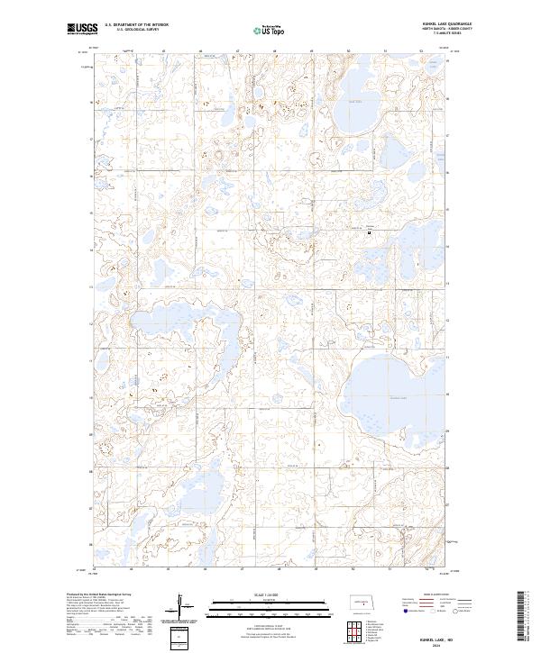
2024 Map of Kunkel Lake
USGS Topo · Published 2024About this map
Kunkel Lake and its surrounding wetlands dominate this prairie landscape in Kidder County, showing the intricate hydrology of North Dakota's glacial pothole region. The terrain is defined by numerous unnamed basins and small seasonal lakes, punctuated by the larger bodies of Iowa Lake, Sink Lake, and South Lake. This modern survey illustrates how much of the local environment is preserved for wildlife, with multiple parcels of the Kidder County Waterfowl Production Area distributed across the township lines of T141N and T142N.
Find a feature on this map
25 named features on this map. Tap any name to fly to it.
Don’t see what you’re looking for? This feature index may not catch every label — zoom into the map to look around manually.
Map Details
Editions of this 2024 Kunkel Lake Map
This is the sole edition of this map. No revisions or reprints were ever made.
Other maps of this area

1952 · Tappen NE
USGS Topo · 1:24,000

1952 · Tappen North
USGS Topo · 1:24,000

1952 · Steele NE
USGS Topo · 1:24,000

1952 · New Rockford
USGS Topo · 1:250,000

1953 · Jamestown
USGS Topo · 1:250,000

1956 · New Rockford
USGS Topo · 1:250,000

1956 · Jamestown
USGS Topo · 1:250,000

1971 · New Rockford
USGS Topo · 1:250,000

1972 · Kunkel Lake
USGS Topo · 1:24,000
1972 · Horsehead Lake
USGS Topo · 1:24,000