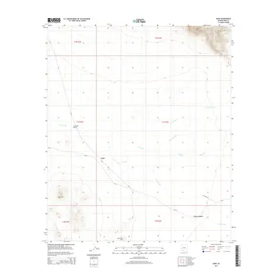
2014 Map of Kupk
USGS Topo · Published 2014About this map
Kupk and the surrounding desert floor are defined by an intricate network of drainage channels that trace the arid landscape of Pima County. The settlement of Kupk sits at a critical junction of local transportation, where Bia-29 and Bia-24 meet near the Vamori Wash. This hydrologic pattern, dominated by the Sells Wash and Gu Oidak Wash, illustrates the seasonal water flow that has long dictated movement and habitation in the Gu Oidak Valley.
Find a feature on this map
21 named features on this map. Tap any name to fly to it.
Don’t see what you’re looking for? This feature index may not catch every label — zoom into the map to look around manually.
Map Details
Editions of this 2014 Kupk Map
This is the sole edition of this map. No revisions or reprints were ever made.
Other maps of this area

1953 · Ajo
USGS Topo · 1:250,000

1954 · Sonoyta
USGS Topo · 1:250,000

1957 · Ajo
USGS Topo · 1:250,000

1958 · Ajo
USGS Topo · 1:250,000

1962 · Ajo
USGS Topo · 1:250,000

1963 · Ajo
USGS Topo · 1:250,000

1963 · Kom Vo
USGS Topo · 1:62,500

1963 · Gu Oidak
USGS Topo · 1:62,500

1963 · Quijotoa Mts
USGS Topo · 1:62,500

1963 · Pisinimo
USGS Topo · 1:62,500
Featured Places
- Kupk, Pisinemo District
- Chukut Kuk District, AZ
- Pisinemo District, AZ
- Sells, AZ
- Chuwut Murk, Pisinemo District