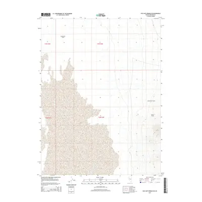
2014 Map of Kyle Hot Springs SW
USGS Topo · Published 2014About this map
Buena Vista Valley dominates the western half of this Pershing County landscape, where the alluvial flats meet the rising eastern foothills. The topography is defined by the stark transition from the level desert floor to the deep drainage patterns of Zimmershed Canyon and Woody Canyon. This 2014 survey by the U.S. Geological Survey details the public land survey system grid, marking the boundaries of t29n r35e, t29n r36e, t28n r35e, and t28n r36e. The map illustrates a largely undeveloped expanse of the Great Basin, focusing on the natural contours and hydraulic channels that shape the arid terrain of northern Nevada.
Find a feature on this map
7 named features on this map. Tap any name to fly to it.
Don’t see what you’re looking for? This feature index may not catch every label — zoom into the map to look around manually.
Map Details
Editions of this 2014 Kyle Hot Springs SW Map
This is the sole edition of this map. No revisions or reprints were ever made.
Other maps of this area

1931 · Lovelock
USGS Topo · 1:250,000

1932 · Sonoma Range
USGS Topo · 1:250,000

1935 · Lovelock
USGS Topo · 1:250,000

1939 · Sonoma Range
USGS Topo · 1:250,000

1954 · Unionville
USGS Topo · 1:62,500

1954 · Buffalo Mtn
USGS Topo · 1:62,500

1955 · Lovelock
USGS Topo · 1:250,000

1955 · Winnemucca
USGS Topo · 1:250,000

1958 · Winnemucca
USGS Topo · 1:250,000

1959 · Lovelock
USGS Topo · 1:250,000