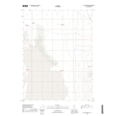
2018 Map of Kyle Hot Springs SW
USGS Topo · Published 2018About this map
Buena Vista Valley dominates the western half of this Pershing County landscape, where the wide, flat floor of the basin gives way to an intricate network of wetlands and intermittent water patterns. The eastern edge of the quadrangle is defined by the rising elevations of the Humboldt Range, cut through by the prominent Woody Canyon. This 2018 survey by the U.S. Geological Survey captures the modern layout of the Kyle Hot Springs Rd as it skirts the northeast corner, providing a vital transport link through the high desert. The intersection of the Fas 615 corridor with the varied terrain of the valley floor illustrates the relationship between the area's geological drainage and its established road network.
Find a feature on this map
8 named features on this map. Tap any name to fly to it.
Don’t see what you’re looking for? This feature index may not catch every label — zoom into the map to look around manually.
Map Details
Editions of this 2018 Kyle Hot Springs SW Map
This is the sole edition of this map. No revisions or reprints were ever made.
Other maps of this area

1931 · Lovelock
USGS Topo · 1:250,000

1932 · Sonoma Range
USGS Topo · 1:250,000

1935 · Lovelock
USGS Topo · 1:250,000

1939 · Sonoma Range
USGS Topo · 1:250,000

1954 · Unionville
USGS Topo · 1:62,500

1954 · Buffalo Mtn
USGS Topo · 1:62,500

1955 · Lovelock
USGS Topo · 1:250,000

1955 · Winnemucca
USGS Topo · 1:250,000

1958 · Winnemucca
USGS Topo · 1:250,000

1959 · Lovelock
USGS Topo · 1:250,000