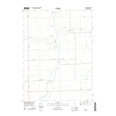
2015 Map of L'Erable
USGS Topo · Published 2015About this map
The Iroquois River carves a winding path through this Iroquois County landscape, anchored by the settlement of L'Erable. This rural Illinois territory is defined by its water systems and the family landmarks of its early residents. Significant local crossings include L'Erable Bridge and Perry Bridge, which facilitate travel over the Pike Cr and its tributaries.
Find a feature on this map
31 named features on this map. Tap any name to fly to it.
Don’t see what you’re looking for? This feature index may not catch every label — zoom into the map to look around manually.
Map Details
Editions of this 2015 L'Erable Map
This is the sole edition of this map. No revisions or reprints were ever made.
Other maps of this area

1922 · Momence
USGS Topo · 1:62,500

1922 · Kankakee
USGS Topo · 1:62,500

1924 · Momence
USGS Topo · 1:62,500

1924 · Kankakee
USGS Topo · 1:62,500

1935 · Watseka
USGS Topo · 1:48,000

1939 · Watseka
USGS Topo · 1:62,500

1944 · Gilman
USGS Topo · 1:62,500

1946 · Gilman
USGS Topo · 1:62,500

1953 · Chicago
USGS Topo · 1:250,000

1953 · Danville
USGS Topo · 1:250,000