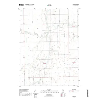
2018 Map of L'Erable
USGS Topo · Published 2018About this map
The small community of L'Erable centers this Iroquois County landscape, established where the Iroquois River meets its winding tributaries. The area's settlement history is deeply tied to these waterways and the drainage systems of the eastern Illinois prairie, evidenced by the many small family and parish burial grounds that dot the sections. Genealogical interest is particularly high around the L'Erable Catholic Cem and outlying sites like Jones Cem, Teege Cem, and Old Burg Cem.
Find a feature on this map
62 named features on this map. Tap any name to fly to it.
Don’t see what you’re looking for? This feature index may not catch every label — zoom into the map to look around manually.
Map Details
Editions of this 2018 L'Erable Map
This is the sole edition of this map. No revisions or reprints were ever made.
Other maps of this area

1922 · Momence
USGS Topo · 1:62,500

1922 · Kankakee
USGS Topo · 1:62,500

1924 · Momence
USGS Topo · 1:62,500

1924 · Kankakee
USGS Topo · 1:62,500

1935 · Watseka
USGS Topo · 1:48,000

1939 · Watseka
USGS Topo · 1:62,500

1944 · Gilman
USGS Topo · 1:62,500

1946 · Gilman
USGS Topo · 1:62,500

1953 · Chicago
USGS Topo · 1:250,000

1953 · Danville
USGS Topo · 1:250,000