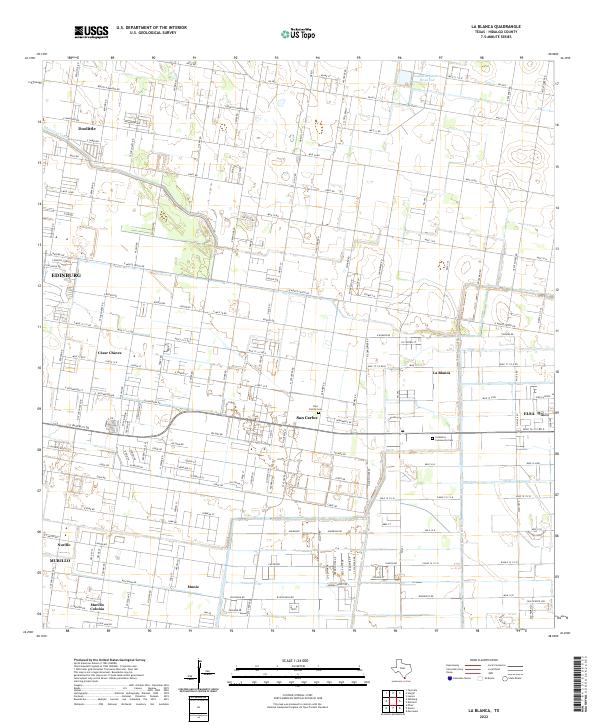
2022 Map of La Blanca
USGS Topo · Published 2022About this map
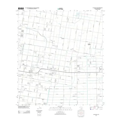
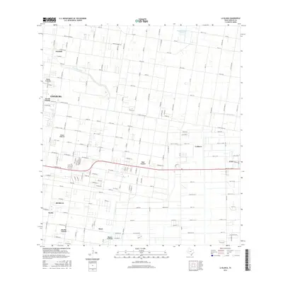
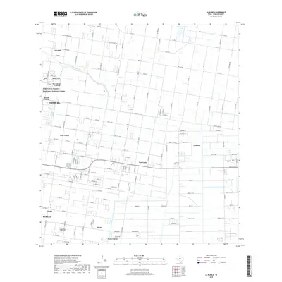
La Blanca and its surrounding colonias are defined by a sophisticated irrigation network that has sustained this corner of Hidalgo County for generations. The landscape is etched with vital water infrastructure including the Santa Cruz Canal, Donna Drain, and the Engelman Gardens Reservoir to the north, which reflect the region's agricultural foundations. Unlike traditional town centers, the settlement pattern here is characterized by a high density of residential clusters and colonias such as César Chávez, San Carlos, and Murillo Colonia, often organized along a grid of mile roads.
Find a feature on this map
129 named features on this map. Tap any name to fly to it.
Don’t see what you’re looking for? This feature index may not catch every label — zoom into the map to look around manually.
Map Details
Editions of this 2022 La Blanca Map
This is the sole edition of this map. No revisions or reprints were ever made.
Historical Maps of Edinburg Through Time
7 maps found
Featured Locations
- Elsa, TX
- Edinburg, TX
- D T Villareal Colonia, TX
- Hacienda de los Vegas Colonia, TX
- Palmas Colonia Number 2, TX