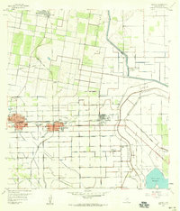
1957 Map of Edcouch
USGS Topo · Published 1959About this map
The agricultural and industrial landscapes of the Rio Grande Valley are clearly defined here, centered on the growing towns of Elsa and Edcouch. This mid-century survey captures a complex irrigation and drainage network essential to the local economy, marked by numerous Elevated Ditch segments and the North Floodway. A dense web of rail lines, including the Missouri Pacific, Southern Pacific, and Texas And New Orleans, underscores the region's historical role as a shipping hub for produce and petroleum.
Find a feature on this map
28 named features on this map. Tap any name to fly to it.
Don’t see what you’re looking for? This feature index may not catch every label — zoom into the map to look around manually.
Map Details
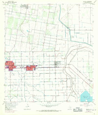
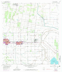
Editions of this 1957 Edcouch Map
3 editions found
Other maps of this area

1914 · San Juan
USGS Topo · 1:48,000

1916 · San Juan
USGS Topo · 1:62,500

1929 · Santa Rosa
USGS Topo · 1:24,000

1929 · La Feria
USGS Topo · 1:24,000

1933 · Santa Rosa
USGS Topo · 1:31,680

1936 · La Feria
USGS Topo · 1:31,680

1949 · Mc Allen
USGS Topo · 1:250,000

1953 · Brownsville
USGS Topo · 1:250,000

1954 · McAllen
USGS Topo · 1:250,000

1956 · Santa Rosa
USGS Topo · 1:24,000