
1956 Map of Mercedes
USGS Topo · Published 1959About this map
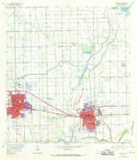
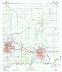
Agricultural development and water management define this mid-century landscape in Hidalgo County, where the Missouri Pacific railroad anchors the parallel growth of Weslaco and Mercedes. The map reveals an intricate network of elevated ditches and canals feeding the surrounding citrus and vegetable fields, a vital system centered around water bodies like Campacuas Lake and the Arroyo Colorado. Notable institutional presence is evident at the Texas College of Arts and Industries and the Valley Grande Academy, alongside several parochial schools including St Joan of Arc Sch.
Find a feature on this map
46 named features on this map. Tap any name to fly to it.
Don’t see what you’re looking for? This feature index may not catch every label — zoom into the map to look around manually.
Map Details
Editions of this 1956 Mercedes Map
3 editions found
Other maps of this area

1914 · San Juan
USGS Topo · 1:48,000

1916 · San Juan
USGS Topo · 1:62,500

1929 · Santa Rosa
USGS Topo · 1:24,000

1929 · Santa Maria
USGS Topo · 1:24,000

1929 · La Feria
USGS Topo · 1:24,000

1933 · Santa Rosa
USGS Topo · 1:31,680

1936 · La Feria
USGS Topo · 1:31,680

1936 · Santa Maria
USGS Topo · 1:31,680

1949 · Mc Allen
USGS Topo · 1:250,000

1953 · Brownsville
USGS Topo · 1:250,000
Featured Places
- Weslaco, TX
- Mercedes, TX
- Elizabeth Colonia, TX
- Cuellar Colonia Number 1, TX
- Highland Memorial Park Colonia, TX