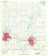
1956 Map of Mercedes
USGS Topo · Published 1970About this map
Agricultural irrigation and civil engineering define the landscape between Weslaco and Mercedes in this mid-century survey of the Rio Grande Valley. The complex water management system is visible through the extensive network of the North Floodway, Pilot Channel, and numerous features labeled as Elevated Ditch. These waterways supported the expansion of settlements like Heidelberg and Harmony Hill while navigating the natural curves of the Arroyo Colorado and Llano Grande Lake.
Find a feature on this map
73 named features on this map. Tap any name to fly to it.
Don’t see what you’re looking for? This feature index may not catch every label — zoom into the map to look around manually.
Map Details
Editions of this 1956 Mercedes Map
3 editions found

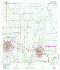
Other maps of this area

1914 · San Juan
USGS Topo · 1:48,000

1916 · San Juan
USGS Topo · 1:62,500

1929 · Santa Rosa
USGS Topo · 1:24,000

1929 · Santa Maria
USGS Topo · 1:24,000

1929 · La Feria
USGS Topo · 1:24,000

1933 · Santa Rosa
USGS Topo · 1:31,680

1936 · La Feria
USGS Topo · 1:31,680

1936 · Santa Maria
USGS Topo · 1:31,680

1949 · Mc Allen
USGS Topo · 1:250,000

1953 · Brownsville
USGS Topo · 1:250,000
Featured Places
- Weslaco, TX
- Mercedes, TX
- Elizabeth Colonia, TX
- Cuellar Colonia Number 1, TX
- Highland Memorial Park Colonia, TX