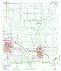
1956 Map of Mercedes
USGS Topo · Published 1984About this map
The Missouri Pacific railroad forms the spine of the Lower Rio Grande Valley landscape, connecting the urban centers of Weslaco and Mercedes. This region is defined by an intricate network of irrigation and flood control, featuring the massive North Floodway, the Pilot Channel, and various elevated canals that supported the area's agricultural expansion. Local educational institutions like the Texas College of Arts and Industries and Valley Grande Academy stand alongside numerous community schools, reflecting the mid-century growth of these South Texas towns.
Find a feature on this map
52 named features on this map. Tap any name to fly to it.
Don’t see what you’re looking for? This feature index may not catch every label — zoom into the map to look around manually.
Map Details
Editions of this 1956 Mercedes Map
3 editions found

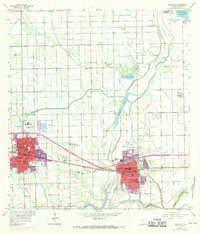
Other maps of this area

1914 · San Juan
USGS Topo · 1:48,000

1916 · San Juan
USGS Topo · 1:62,500

1929 · Santa Rosa
USGS Topo · 1:24,000

1929 · Santa Maria
USGS Topo · 1:24,000

1929 · La Feria
USGS Topo · 1:24,000

1933 · Santa Rosa
USGS Topo · 1:31,680

1936 · La Feria
USGS Topo · 1:31,680

1936 · Santa Maria
USGS Topo · 1:31,680

1949 · Mc Allen
USGS Topo · 1:250,000

1953 · Brownsville
USGS Topo · 1:250,000
Featured Places
- Weslaco, TX
- Mercedes, TX
- Elizabeth Colonia, TX
- Cuellar Colonia Number 1, TX
- Highland Memorial Park Colonia, TX