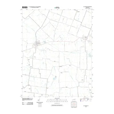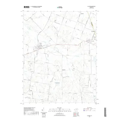
2022 Map of La Center
USGS Topo · Published 2022About this map
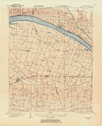
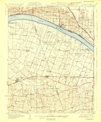
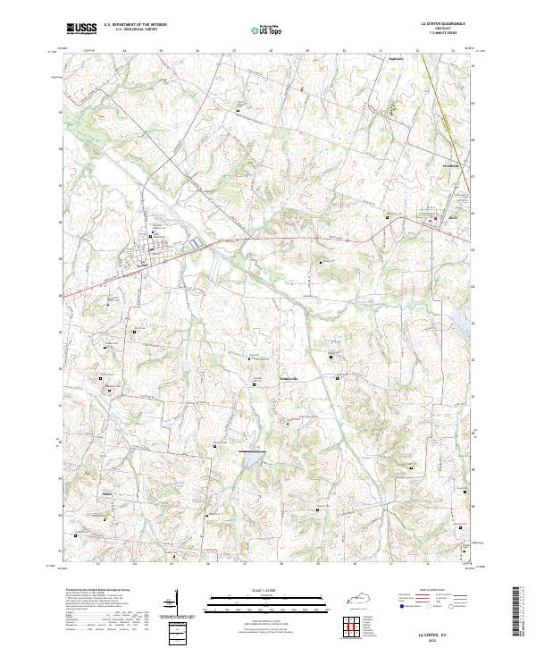
La Center serves as the primary hub in this western Kentucky landscape, situated where the lowlands of Humphrey Slough meet the upland agricultural reaches of Ballard County. The area is defined by a dense concentration of family burial grounds and community landmarks, reflecting a deep-rooted lineage of rural settlement. Clusters of historical interest are found near Hinkleville and the crossing at Slater, where the terrain is carved by the winding paths of Little Humphrey Cr and Shawnee Cr.
Find a feature on this map
125 named features on this map. Tap any name to fly to it.
Don’t see what you’re looking for? This feature index may not catch every label — zoom into the map to look around manually.
Map Details
Editions of this 2022 La Center Map
This is the sole edition of this map. No revisions or reprints were ever made.
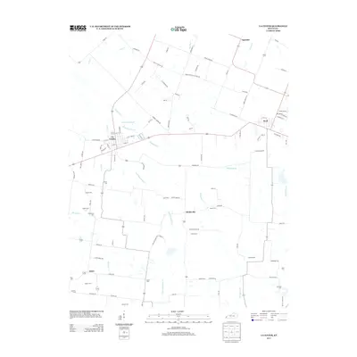
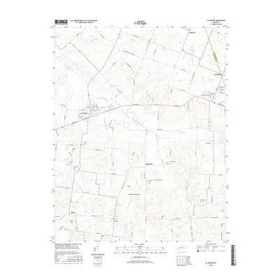
Historical Maps of La Center Through Time
9 maps found