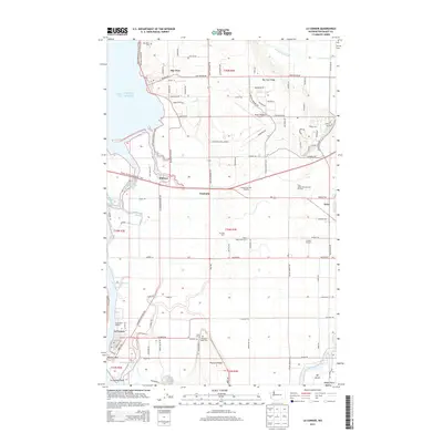
2014 Map of La Conner
USGS Topo · Published 2014About this map
La Conner anchors this detailed study of the Skagit Delta, where the intricate waterways of the Swinomish Channel and Sullivan Slough meet the fertile La Conner Flats. The landscape reflects a legacy of intensive agriculture and maritime activity, documented through local landmarks like the Skagit Valley Bulb Farm and Tulip Valley Vineyard and Orchard. These sites, along with Azusa Farm and Gardens, highlight the region's specialized farming heritage near the banks of the Skagit River. Historical continuity is preserved at the Bay View Cem and Pleasant Ridge Cem, which overlook established settlements like Bay View and Fredonia. The presence of the Pacific NW National Scenic Trail and the Skagit Regional Airport shows how modern transportation and recreation have layered over the traditional river-and-slough geography of the Puget Sound shoreline.
Find a feature on this map
109 named features on this map. Tap any name to fly to it.
Don’t see what you’re looking for? This feature index may not catch every label — zoom into the map to look around manually.
Map Details
Editions of this 2014 La Conner Map
This is the sole edition of this map. No revisions or reprints were ever made.
Other maps of this area

1911 · Mount Vernon
USGS Topo · 1:125,000

1918 · Samish Lake
USGS Topo · 1:62,500

1940 · Mt Vernon
USGS Topo · 1:62,500

1943 · Mt Vernon
USGS Topo · 1:62,500

1943 · Deception Pass
USGS Topo · 1:62,500

1943 · Anacortes
USGS Topo · 1:62,500

1951 · Deception Pass
USGS Topo · 1:62,500

1951 · Anacortes
USGS Topo · 1:62,500

1952 · Alger
USGS Topo · 1:24,000

1954 · Bow
USGS Topo · 1:24,000