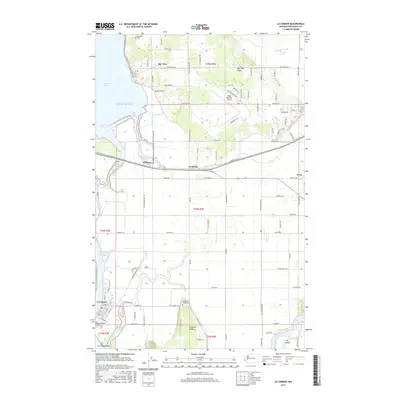
2017 Map of La Conner
USGS Topo · Published 2017About this map
Swinomish Channel flows along the western edge of La Conner, separating the town from the expansive La Conner Flats. This 2017 study illustrates the agricultural and maritime character of Skagit County, where the North Fork Skagit River winds toward Puget Sound and Padilla Bay. The landscape is defined by elevated features like Bay View Ridge and Pleasant Ridge, which provide a contrast to the surrounding marshlands and sloughs such as Telegraph Slough and Higgins Slough. In the northern section, the Bay View settlement is flanked by Bay View Cem, while the Pacific NW National Scenic Trail meanders through the terrain near Whitney. Further east, Skagit Regional Airport serves as a modern transportation hub near Fredonia. For genealogists, the map identifies local landmarks including Pleasant Ridge Cem and Pioneer Park, alongside an extensive network of rural roads like LaConner Whitney Rd and Farm to Market Rd.
Find a feature on this map
93 named features on this map. Tap any name to fly to it.
Don’t see what you’re looking for? This feature index may not catch every label — zoom into the map to look around manually.
Map Details
Editions of this 2017 La Conner Map
This is the sole edition of this map. No revisions or reprints were ever made.
Other maps of this area

1911 · Mount Vernon
USGS Topo · 1:125,000

1918 · Samish Lake
USGS Topo · 1:62,500

1940 · Mt Vernon
USGS Topo · 1:62,500

1943 · Mt Vernon
USGS Topo · 1:62,500

1943 · Deception Pass
USGS Topo · 1:62,500

1943 · Anacortes
USGS Topo · 1:62,500

1951 · Deception Pass
USGS Topo · 1:62,500

1951 · Anacortes
USGS Topo · 1:62,500

1952 · Alger
USGS Topo · 1:24,000

1954 · Bow
USGS Topo · 1:24,000