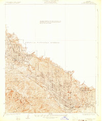
1928 Map of La Crescenta
USGS Topo · Published 1932About this map
The Verdugo Mountains dominate the southern portion of this landscape, rising above a series of burgeoning communities at the base of the Angeles National Forest. Surveyed in 1925, the map captures the transition of the Crescenta Valley from rural outposts to organized suburban developments. Settlements like Tujunga, La Crescenta, and Montrose are shown with a clear grid system of residential streets, while the presence of Highway Highlands and Altacanada reflects the early 20th-century expansion into the foothills. The road network is particularly well-defined, featuring prominent thoroughfares such as Honolulu Ave and Southern California Blvd that connected these growing towns to the wider Los Angeles region. Rugged drainages like Sunset Canyon and Halls Canyon underscore the topographical challenges faced by early planners and residents in this high-elevation corner of the county.
Find a feature on this map
28 named features on this map. Tap any name to fly to it.
Don’t see what you’re looking for? This feature index may not catch every label — zoom into the map to look around manually.
Map Details
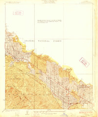
Editions of this 1928 La Crescenta Map
2 editions found
Other maps of this area

1894 · Los Angeles
USGS Topo · 1:62,500

1896 · Pasadena
USGS Topo · 1:62,500

1896 · Santa Monica
USGS Topo · 1:62,500

1898 · Santa Monica
USGS Topo · 1:62,500

1900 · Pasadena
USGS Topo · 1:62,500

1900 · Tujunga
USGS Topo · 1:62,500

1900 · Los Angeles
USGS Topo · 1:62,500

1900 · Fernando
USGS Topo · 1:62,500

1901 · Southern California Sheet No. 1
USGS Topo · 1:250,000

1902 · Santa Monica
USGS Topo · 1:62,500