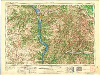
1965 Map of La Crosse
USGS Topo · Published 1965About this map
The Mississippi River serves as the central artery of this mid-century survey, dividing the rugged Coulee Region where the Upper Mississippi River National Wildlife Refuge stretches along the state borders. To the west, the river valley gives way to the high plateaus of southeastern Minnesota and northeastern Iowa, while the eastern portion of the sheet reveals the complex drainage basins of the Kickapoo River and Wisconsin River. This landscape is defined by its early transportation corridors, where the Chicago and North Western and Chicago Milwaukee St Paul and Pacific railroads parallel the riverbanks and connect industrial hubs like La Crosse to smaller interior settlements.
Find a feature on this map
170 named features on this map. Tap any name to fly to it.
Don’t see what you’re looking for? This feature index may not catch every label — zoom into the map to look around manually.
Map Details
Editions of this 1965 La Crosse Map
This is the sole edition of this map. No revisions or reprints were ever made.
Other maps of this area

1900 · Lancaster
USGS Topo · 1:125,000
1901 · Denzer
USGS Topo · 1:62,500
1901 · Oelwein
USGS Topo · 1:125,000
1901 · The Dells
USGS Topo · 1:62,500
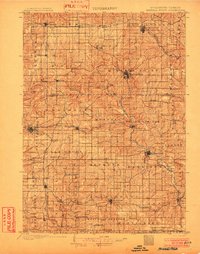
1902 · Mineral Point
USGS Topo · 1:125,000
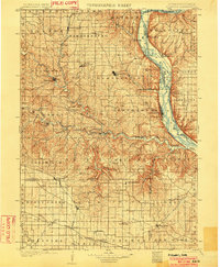
1902 · Elkader
USGS Topo · 1:125,000
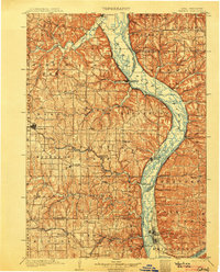
1903 · Waukon
USGS Topo · 1:125,000

1904 · Lancaster
USGS Topo · 1:125,000
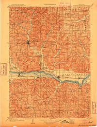
1905 · Richland Center
USGS Topo · 1:125,000
1906 · Decorah
USGS Topo · 1:125,000