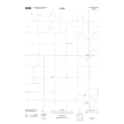
2013 Map of La Crosse
USGS Topo · Published 2013About this map
La Crosse serves as the primary hub of this northern Indiana landscape, where a grid of rural roads and an extensive network of drainage canals reveal the transformation of the Kankakee marshlands into productive agricultural soil. The Kankakee River defines the southern boundary of the quadrangle, flanked by the small settlements of Wilders and Riverside. This area reflects a long history of water management, evidenced by named waterways such as Greiger Ditch, Hannon Ditch, and Reeves Ditch that crisscross the flat terrain to support the region's farms. Scattered across this agricultural expanse are specialized landmarks like the Lou Abbett Farms Airport and the settlement of Clanricarde, illustrating the sparse but organized nature of the rural community. The landscape is a study in early 21st-century land use, where the interplay of modern aviation and traditional river-bottom farming creates a distinct Midwestern character.
Find a feature on this map
57 named features on this map. Tap any name to fly to it.
Don’t see what you’re looking for? This feature index may not catch every label — zoom into the map to look around manually.
Map Details
Editions of this 2013 La Crosse Map
This is the sole edition of this map. No revisions or reprints were ever made.
Other maps of this area

1953 · Wanatah
USGS Topo · 1:24,000

1953 · Valparaiso
USGS Topo · 1:24,000

1953 · Kouts
USGS Topo · 1:24,000

1953 · Chicago
USGS Topo · 1:250,000

1957 · Chicago
USGS Topo · 1:250,000

1957 · Wheatfield
USGS Topo · 1:24,000

1958 · La Crosse
USGS Topo · 1:24,000

1958 · Hanna
USGS Topo · 1:24,000

1959 · English Lake
USGS Topo · 1:24,000

1959 · North Judson
USGS Topo · 1:24,000