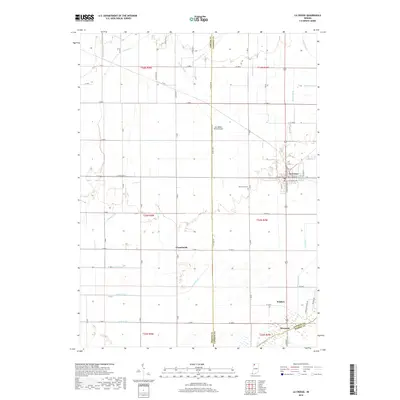
2019 Map of La Crosse
USGS Topo · Published 2019About this map
The town of La Crosse serves as the central hub of this agricultural landscape in southern LaPorte County, where a grid of rural roads and drainage infrastructure defines the terrain. The map captures the engineered hydrology of the region, featuring an extensive network of waterways such as Hannon Ditch, Marsh Ditch, and Reeves Ditch that feed toward the southern boundary at the Kankakee River. Smaller settlements like Clanricarde and Riverside are documented along these drainage corridors, reflecting the historical importance of water management to local settlement patterns.
Find a feature on this map
50 named features on this map. Tap any name to fly to it.
Don’t see what you’re looking for? This feature index may not catch every label — zoom into the map to look around manually.
Map Details
Editions of this 2019 La Crosse Map
This is the sole edition of this map. No revisions or reprints were ever made.
Other maps of this area

1953 · Wanatah
USGS Topo · 1:24,000

1953 · Valparaiso
USGS Topo · 1:24,000

1953 · Kouts
USGS Topo · 1:24,000

1953 · Chicago
USGS Topo · 1:250,000

1957 · Chicago
USGS Topo · 1:250,000

1957 · Wheatfield
USGS Topo · 1:24,000

1958 · La Crosse
USGS Topo · 1:24,000

1958 · Hanna
USGS Topo · 1:24,000

1959 · English Lake
USGS Topo · 1:24,000

1959 · North Judson
USGS Topo · 1:24,000