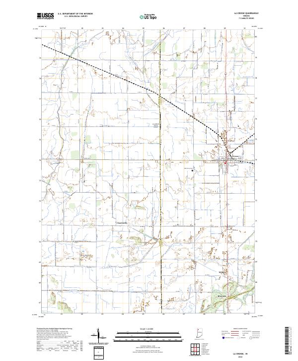
2022 Map of La Crosse
USGS Topo · Published 2022About this map
The town of La Crosse serves as the primary hub of this landscape, situated at a junction where the agricultural plains meet a complex network of drainage infrastructure. This 2022 survey reveals a terrain defined by engineered waterways such as Marsh Ditch and Hannon Ditch, which crisscross the territory to manage the low-lying reaches of the Kankakee River basin. The transition from the structured grid of the town to the rural outskirts is marked by smaller hamlets like Clanricarde and Wilders, and family-oriented landmarks such as the Lou Abbett Farms Airport.
Find a feature on this map
51 named features on this map. Tap any name to fly to it.
Don’t see what you’re looking for? This feature index may not catch every label — zoom into the map to look around manually.
Map Details
Editions of this 2022 La Crosse Map
This is the sole edition of this map. No revisions or reprints were ever made.
Other maps of this area

1953 · Wanatah
USGS Topo · 1:24,000

1953 · Valparaiso
USGS Topo · 1:24,000

1953 · Kouts
USGS Topo · 1:24,000

1953 · Chicago
USGS Topo · 1:250,000

1957 · Chicago
USGS Topo · 1:250,000

1957 · Wheatfield
USGS Topo · 1:24,000

1958 · La Crosse
USGS Topo · 1:24,000

1958 · Hanna
USGS Topo · 1:24,000

1959 · English Lake
USGS Topo · 1:24,000

1959 · North Judson
USGS Topo · 1:24,000