Loading...
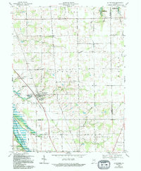
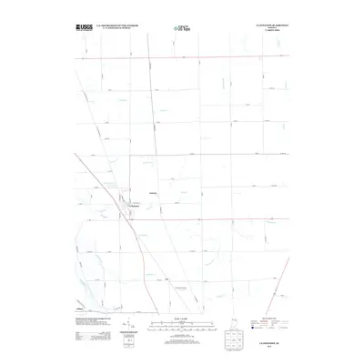
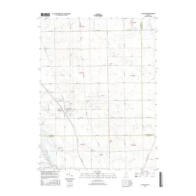
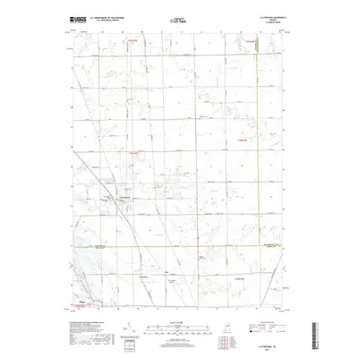
Loading map...1969 Map of La Fontaine
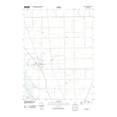
USGS Topo · Published 1994About this map
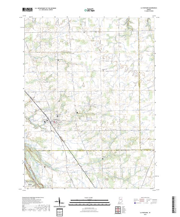
The town of La Fontaine serves as a central hub for this rural landscape where Wabash, Grant, and Huntington counties converge. Surveyed in the late 1960s, the terrain is defined by a dense network of family-named burial grounds and rural institutions, including the Meshingomesia Cem near the southern edge and the Boundary Line Ch to the north. These sites, alongside Stone Cem and America Cem, provide significant data for genealogists tracing early Indiana families.
Find a feature on this map
47 named features on this map. Tap any name to fly to it.
Don’t see what you’re looking for? This feature index may not catch every label — zoom into the map to look around manually.
Map Details
Date Portrayed1969
Date Published1994
PublisherU.S. Geological Survey
Map TypeTopographic
Scale1:24,000
Physical Dimensions22.1 x 26.9 inches
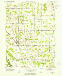
Editions of this 1969 La Fontaine Map
2 editions found
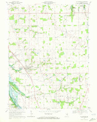
Historical Maps of La Fontaine Through Time
7 maps found
Featured Locations
Source Details
SourceU.S. Geological Survey
CopyrightPublic Domain