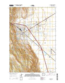
2014 Map of La Grande
USGS Topo · Published 2014About this map
La Grande serves as the focal point of this Union County landscape, where the urban grid meets the steep slopes of the Blue Mountains. The presence of Eastern Oregon University and its Community Stadium marks the city's role as a regional center for education. Several cemeteries, including Hillcrest Cem and Calvary Cem, are clustered near the city limits, providing important touchpoints for genealogical research.
Find a feature on this map
74 named features on this map. Tap any name to fly to it.
Don’t see what you’re looking for? This feature index may not catch every label — zoom into the map to look around manually.
Map Details
Editions of this 2014 La Grande Map
This is the sole edition of this map. No revisions or reprints were ever made.
Other maps of this area

1906 · Telocaset
USGS Topo · 1:125,000

1953 · Pendleton
USGS Topo · 1:250,000

1955 · Grangeville
USGS Topo · 1:250,000

1956 · Pendleton
USGS Topo · 1:250,000

1959 · Grangeville
USGS Topo · 1:250,000

1963 · La Grande SE
USGS Topo · 1:24,000

1963 · Hilgard
USGS Topo · 1:24,000

1963 · Summerville
USGS Topo · 1:24,000

1964 · Drumhill Ridge
USGS Topo · 1:24,000

1965 · Conley
USGS Topo · 1:24,000