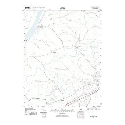
2010 Map of La Grange
USGS Topo · Published 2010About this map
The Ohio River forms the western boundary of this territory, where Eighteenmile Island sits offshore from the riverfront settlement of Westport. This community, served by the Westport Post Office, marks a point of historic river access near where Eighteenmile Creek flows into the main channel. Further inland, the landscape transitions from the river bluffs of Covington Ridge and Smith Ridge toward the expanding developed areas of La Grange.
Find a feature on this map
67 named features on this map. Tap any name to fly to it.
Don’t see what you’re looking for? This feature index may not catch every label — zoom into the map to look around manually.
Map Details
Editions of this 2010 La Grange Map
This is the sole edition of this map. No revisions or reprints were ever made.
Other maps of this area

1905 · Prospect
USGS Topo · 1:62,500

1912 · Prospect
USGS Topo · 1:62,500

1932 · La Grange
USGS Topo · 1:62,500

1938 · Owen
USGS Topo · 1:24,000

1939 · Bethlehem
USGS Topo · 1:24,000

1948 · Bethlehem
USGS Topo · 1:24,000

1948 · Owen
USGS Topo · 1:24,000

1951 · Anchorage
USGS Topo · 1:24,000

1951 · Crestwood
USGS Topo · 1:24,000

1953 · Bedford
USGS Topo · 1:24,000