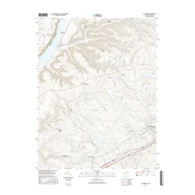
2016 Map of La Grange
USGS Topo · Published 2016About this map
La Grange and the surrounding Oldham County landscape are defined by a complex drainage system flowing toward the Ohio River. The terrain transitions from the riverfront at Westport through a series of ridges and hollows, such as Smith Ridge and Dunbar Hollow, toward the growing corridor near Buckner. This area shows a modern pattern of residential development and agricultural land use, with smaller settlements like Greenhaven, Demplytown, and Cedar Point scattered between the larger hubs. Significant water features like Eighteenmile Creek and Harrods Creek carve through the topography, while man-made landmarks such as Reformatory Lake and Valley Rest Cem provide specific points of interest for local history and genealogy. The map also captures the interstate and rail infrastructure that has long influenced the growth of this portion of northern Kentucky.
Find a feature on this map
104 named features on this map. Tap any name to fly to it.
Don’t see what you’re looking for? This feature index may not catch every label — zoom into the map to look around manually.
Map Details
Editions of this 2016 La Grange Map
This is the sole edition of this map. No revisions or reprints were ever made.
Other maps of this area

1905 · Prospect
USGS Topo · 1:62,500

1912 · Prospect
USGS Topo · 1:62,500

1932 · La Grange
USGS Topo · 1:62,500

1938 · Owen
USGS Topo · 1:24,000

1939 · Bethlehem
USGS Topo · 1:24,000

1948 · Bethlehem
USGS Topo · 1:24,000

1948 · Owen
USGS Topo · 1:24,000

1951 · Anchorage
USGS Topo · 1:24,000

1951 · Crestwood
USGS Topo · 1:24,000

1953 · Bedford
USGS Topo · 1:24,000