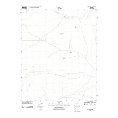
2010 Map of La Joya NW
USGS Topo · Published 2010About this map
Rio Puerco meanders through the eastern reaches of this Socorro County landscape, marking a significant hydrological feature in a region defined by complex drainage patterns. The terrain is characterized by broad washes and seasonal watercourses, including the notable Mariano Draw and Arroyo Tio Lino. Human intervention in the arid environment is evident through a network of water management structures such as Blue Detention Dam, PJ Number 6 Detention Dam, and Connie Detention Dam. To the southwest, the rising slopes of Sierra Ladrones begin to dominate the topography, while the winding path of Cañada Colorado cuts across the central plains. Transportation is anchored by the historic alignment of Old Hwy 85 and various county routes, reflecting the modern infrastructure used to navigate this expanse of the Rio Grande valley watershed.
Find a feature on this map
12 named features on this map. Tap any name to fly to it.
Don’t see what you’re looking for? This feature index may not catch every label — zoom into the map to look around manually.
Map Details
Editions of this 2010 La Joya NW Map
This is the sole edition of this map. No revisions or reprints were ever made.
Other maps of this area

1916 · La Joya
USGS Topo · 1:125,000

1917 · Cerro Verde
USGS Topo · 1:125,000

1952 · La Joya NW
USGS Topo · 1:24,000

1952 · San Anacia
USGS Topo · 1:24,000

1952 · Belen SW
USGS Topo · 1:24,000

1952 · La Joya
USGS Topo · 1:24,000

1952 · Veguita
USGS Topo · 1:24,000

1952 · Abeytas
USGS Topo · 1:24,000

1954 · Socorro
USGS Topo · 1:250,000

1956 · Mesa Aparejo
USGS Topo · 1:62,500