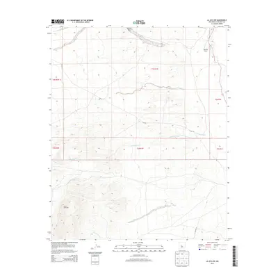
2013 Map of La Joya NW
USGS Topo · Published 2013About this map
Sierra Ladrones dominates the southwestern portion of this 2013 survey, rising sharply above the surrounding desert floor. This landscape is defined by the ephemeral drainage systems of the high desert, where watercourses like Arroyo Tio Lino and the broad Mariano Draw channel seasonal runoff from the peaks toward the Rio Puerco on the eastern edge. The map provides a look at the transition from high mountainous terrain to the arroyos and canyons that carve through the basin, such as Cañada Colorado. Modern infrastructure is represented by the path of Old Highway 85 and Co Road 12, which traverse the open range between established townships and the rugged highlands. For genealogists and local historians, the Public Land Survey System grids clearly delineate township and range boundaries across this sparsely populated section of the county.
Find a feature on this map
13 named features on this map. Tap any name to fly to it.
Don’t see what you’re looking for? This feature index may not catch every label — zoom into the map to look around manually.
Map Details
Editions of this 2013 La Joya NW Map
This is the sole edition of this map. No revisions or reprints were ever made.
Other maps of this area

1916 · La Joya
USGS Topo · 1:125,000

1917 · Cerro Verde
USGS Topo · 1:125,000

1952 · La Joya NW
USGS Topo · 1:24,000

1952 · San Anacia
USGS Topo · 1:24,000

1952 · Belen SW
USGS Topo · 1:24,000

1952 · La Joya
USGS Topo · 1:24,000

1952 · Veguita
USGS Topo · 1:24,000

1952 · Abeytas
USGS Topo · 1:24,000

1954 · Socorro
USGS Topo · 1:250,000

1956 · Mesa Aparejo
USGS Topo · 1:62,500