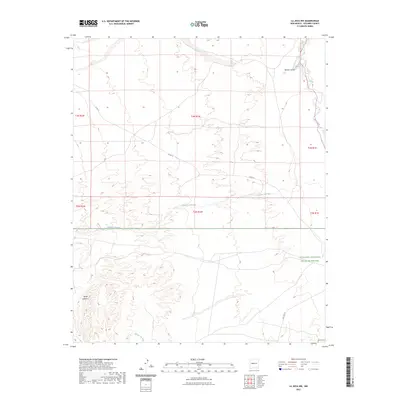
2023 Map of La Joya NW
USGS Topo · Published 2023About this map
The Sevilleta National Wildlife Refuge occupies the eastern portion of this landscape, where the high desert terrain meets the intermittent waters of the Rio Puerco. This 2023 survey by the U.S. Geological Survey illustrates a sparsely populated region of Socorro County characterized by dramatic elevation changes. In the southwest, the Sierra Ladrones rise sharply, providing a backdrop to the network of dry washes and canyons that define the local hydrology. Drainages such as Mariano Draw, Cañada Colorado, and Arroyo Tio Lino trace the natural paths of seasonal runoff through the arid basin. Infrastructure is limited to essential connectors like Co RD 12 and the route of Old Hwy 85, which facilitate travel through this protected and open range environment.
Find a feature on this map
14 named features on this map. Tap any name to fly to it.
Don’t see what you’re looking for? This feature index may not catch every label — zoom into the map to look around manually.
Map Details
Editions of this 2023 La Joya NW Map
This is the sole edition of this map. No revisions or reprints were ever made.
Other maps of this area

1916 · La Joya
USGS Topo · 1:125,000

1917 · Cerro Verde
USGS Topo · 1:125,000

1952 · La Joya NW
USGS Topo · 1:24,000

1952 · San Anacia
USGS Topo · 1:24,000

1952 · Belen SW
USGS Topo · 1:24,000

1952 · La Joya
USGS Topo · 1:24,000

1952 · Veguita
USGS Topo · 1:24,000

1952 · Abeytas
USGS Topo · 1:24,000

1954 · Socorro
USGS Topo · 1:250,000

1956 · Mesa Aparejo
USGS Topo · 1:62,500