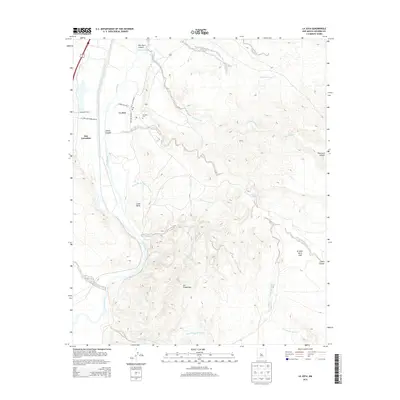
2013 Map of La Joya
USGS Topo · Published 2013About this map
La Joya sits along the eastern bank of the Rio Grande, serving as a focal point for this Socorro County landscape in the early 21st century. The settlement structure is defined by local thoroughfares like Calle de Centro N and Camino del Rio, with the La Joya Cem and a local Po marking the community's center. To the west, the La Joya State Game Refuge spans the river valley, while the surrounding terrain is deeply etched by a network of ephemeral watercourses including Salas Arroyo and Bernardo Arroyo. This desert environment is punctuated by significant elevation changes, from the depths of Palo Duro Canyon to the heights of Loma Parda. Further south, the map identifies smaller locales like San Geronimo and Los Cañoncitos, illustrating the sparse but persistent habitations that characterize this portion of the Middle Rio Grande Valley.
Find a feature on this map
23 named features on this map. Tap any name to fly to it.
Don’t see what you’re looking for? This feature index may not catch every label — zoom into the map to look around manually.
Map Details
Editions of this 2013 La Joya Map
This is the sole edition of this map. No revisions or reprints were ever made.
Other maps of this area

1906 · Socorro
USGS Topo · 1:62,500

1916 · La Joya
USGS Topo · 1:125,000

1952 · La Joya NW
USGS Topo · 1:24,000

1952 · San Anacia
USGS Topo · 1:24,000

1952 · Black Butte
USGS Topo · 1:24,000

1952 · La Joya
USGS Topo · 1:24,000

1952 · Becker SW
USGS Topo · 1:24,000

1952 · Abeytas
USGS Topo · 1:24,000

1954 · Socorro
USGS Topo · 1:250,000

1958 · Socorro
USGS Topo · 1:250,000