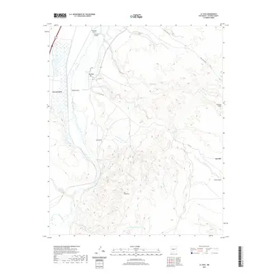
2020 Map of La Joya
USGS Topo · Published 2020About this map
The Rio Grande corridor in Socorro County anchors this landscape, where the traditional settlement of La Joya and the nearby La Joya Cem sit overlooking the river's eastern banks. This area is defined by a network of drainage systems and canyons that carve through the high desert, including the prominent Palo Duro Canyon and Cibola Canyon. The mapping of small settlements like San Geronimo and Los Cañoncitos illustrates the persistent habitation patterns in this arid region, while land markers like CLL De Centro N and CLL De Centro Sur indicate localized property or grazing boundaries. Water remains the primary shaper of the terrain, from the Rio Salado junction to isolated points like Ojo del Padre and Los Alamos Spring. A solitary industrial marker, the Red Mill, stands to the east, providing a point of reference for the region's sparse infrastructure and historical land use.
Find a feature on this map
24 named features on this map. Tap any name to fly to it.
Don’t see what you’re looking for? This feature index may not catch every label — zoom into the map to look around manually.
Map Details
Editions of this 2020 La Joya Map
This is the sole edition of this map. No revisions or reprints were ever made.
Other maps of this area

1906 · Socorro
USGS Topo · 1:62,500

1916 · La Joya
USGS Topo · 1:125,000

1952 · La Joya NW
USGS Topo · 1:24,000

1952 · San Anacia
USGS Topo · 1:24,000

1952 · Black Butte
USGS Topo · 1:24,000

1952 · La Joya
USGS Topo · 1:24,000

1952 · Becker SW
USGS Topo · 1:24,000

1952 · Abeytas
USGS Topo · 1:24,000

1954 · Socorro
USGS Topo · 1:250,000

1958 · Socorro
USGS Topo · 1:250,000