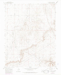
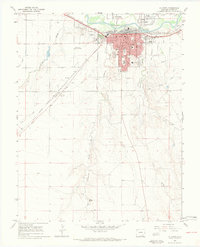
1966 Map of La Junta SE
USGS Topo · Published 1985About this map
Vogel Springs and the surrounding drainage systems define this section of the High Plains south of the Arkansas River. The landscape is deeply incised by the erosive forces that carved David Canyon and Vogel Canyon, revealing a rugged topography where water sources were critical for ranching operations. The presence of a Well in the northwest corner and several benchmarked elevations like BM 4385 suggest a surveyed environment focused on resource management and navigation in an otherwise arid expanse.
Find a feature on this map
12 named features on this map. Tap any name to fly to it.
Don’t see what you’re looking for? This feature index may not catch every label — zoom into the map to look around manually.
Map Details
Editions of this 1966 La Junta SE Map
4 editions found
Other maps of this area

1891 · Higbee
USGS Topo · 1:125,000

1891 · Timpas
USGS Topo · 1:125,000

1893 · Higbee
USGS Topo · 1:125,000

1894 · Timpas
USGS Topo · 1:125,000

1955 · La Junta
USGS Topo · 1:250,000

1958 · La Junta
USGS Topo · 1:250,000

1965 · La Junta SW
USGS Topo · 1:24,000

1966 · La Junta SE
USGS Topo · 1:24,000
1966 · Hawley
USGS Topo · 1:24,000
1966 · La Junta
USGS Topo · 1:24,000