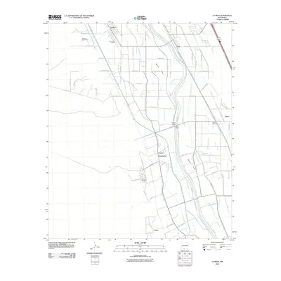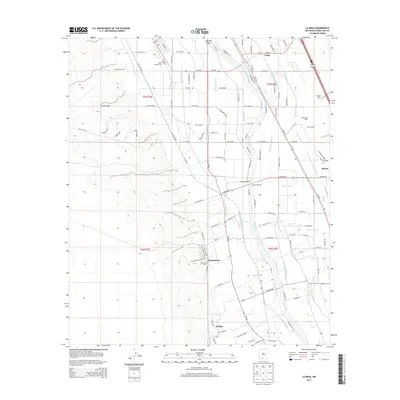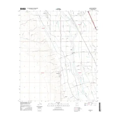
1996 Map of La Mesa
USGS Topo · Published 2002About this map
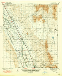
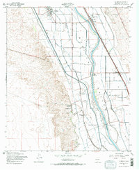
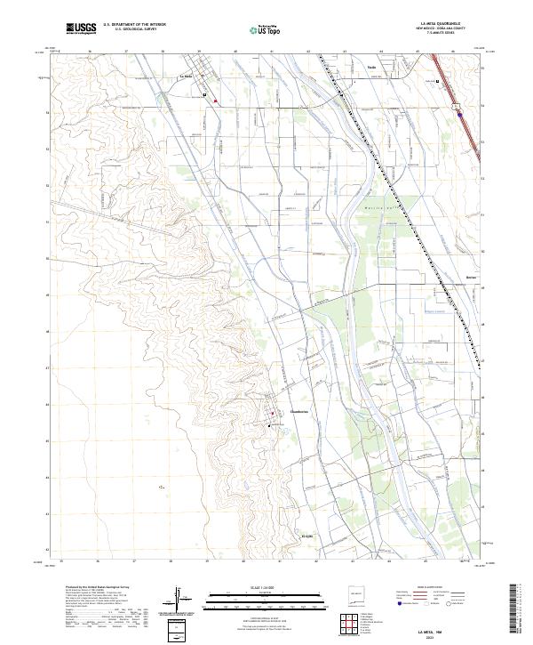
The Rio Grande anchors this detailed survey of the Mesilla Valley, where an intricate network of irrigation channels like the Chamberino Main Lateral and Three Saints Lateral supported a thriving agricultural economy. The landscape is defined by the contrast between the fertile valley floor, organized into the Refugio Colony, and the rising bluffs to the west. Central to the area's development is the settlement of Chamberino, including the site of Chamberino (Old Town) and its local Chamberino Sch. Transportation and logistics are evident through the Berino Siding and structural landmarks like the Pipeline Bridge and Berino Bridge. Cultural and community life is marked by numerous religious sites, including Valley Grove Ch, New Hope Ch, and the St Josephs Cem located near La Mesa.
Find a feature on this map
42 named features on this map. Tap any name to fly to it.
Don’t see what you’re looking for? This feature index may not catch every label — zoom into the map to look around manually.
Map Details
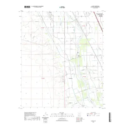
Editions of this 1996 La Mesa Map
This is the sole edition of this map. No revisions or reprints were ever made.
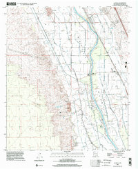
Historical Maps of El Ojito Through Time
8 maps found