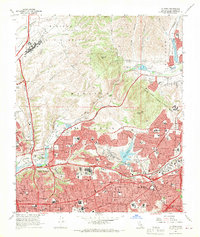
1967 Map of La Mesa
USGS Topo · Published 1969About this map
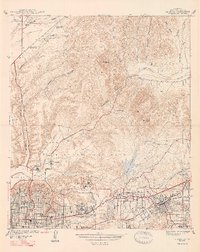
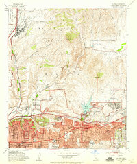
San Diego State College and the surrounding residential developments of La Mesa and East San Diego dominate this late 1960s landscape, reflecting the post-war suburban expansion in the hills east of the city. The map documents a period of significant infrastructure growth, with the San Diego Stadium newly established near Grantville and the Cabrillo Freeway bisecting the canyons. In the northern reaches, the Miramar Naval Air Station and US Naval Res lands contrast with the emerging residential neighborhoods like Normal Heights and Alvarado.
Find a feature on this map
102 named features on this map. Tap any name to fly to it.
Don’t see what you’re looking for? This feature index may not catch every label — zoom into the map to look around manually.
Map Details
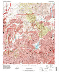
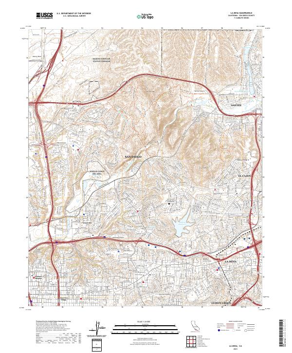
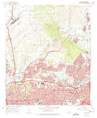
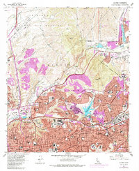
Editions of this 1967 La Mesa Map
4 editions found
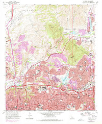
Historical Maps of San Diego Through Time
6 maps found