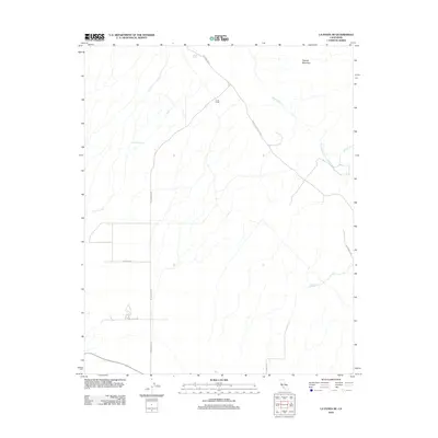
2012 Map of La Panza NE
USGS Topo · Published 2012About this map
Pinole Ranch and the surrounding drainage basins of the Temblor Range characterize this high-desert landscape in eastern Kern County. The terrain is defined by a network of seasonal watercourses, including Bitterwater Cr, Carnaza Cr, and Yeguas Cr, which cut through the arid hills below Yeguas Mountain. These canyons are punctuated by vital water sources such as Pinole Spring, Mustang Spring, and Jerks Spring, which have historically supported ranching operations and local wildlife.
Find a feature on this map
14 named features on this map. Tap any name to fly to it.
Don’t see what you’re looking for? This feature index may not catch every label — zoom into the map to look around manually.
Map Details
Editions of this 2012 La Panza NE Map
This is the sole edition of this map. No revisions or reprints were ever made.
Other maps of this area

1912 · McKittrick
USGS Topo · 1:125,000

1914 · Lost Hills
USGS Topo · 1:125,000

1914 · Cholame
USGS Topo · 1:125,000

1915 · Cholame
USGS Topo · 1:125,000

1917 · Cholame
USGS Topo · 1:125,000

1932 · La Panza
USGS Topo · 1:48,000

1935 · La Panza
USGS Topo · 1:62,500

1936 · La Panza
USGS Topo · 1:62,500

1943 · Packwood
USGS Topo · 1:31,680

1943 · Grant Lake
USGS Topo · 1:31,680