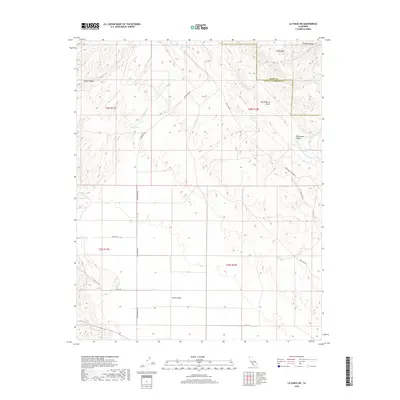
2018 Map of La Panza NE
USGS Topo · Published 2018About this map
The San Andreas Fault cuts a diagonal path across this section of the California Coast Ranges, marking the stark tectonic boundary between the Temblor Range and the surrounding high desert terrain. This 2018 survey reveals the drainage patterns of this arid landscape, where ephemeral water sources like Pinole Spring, Jenks Spring, and Mustang Spring provide critical points of interest. To the south, the terrain levels out into the northern reaches of the Carrizo Plain, a region defined by its wide, open spaces and seasonal watercourses such as Bitterwater Cr and Carnaza Cr.
Find a feature on this map
24 named features on this map. Tap any name to fly to it.
Don’t see what you’re looking for? This feature index may not catch every label — zoom into the map to look around manually.
Map Details
Editions of this 2018 La Panza NE Map
This is the sole edition of this map. No revisions or reprints were ever made.
Other maps of this area

1912 · McKittrick
USGS Topo · 1:125,000

1914 · Lost Hills
USGS Topo · 1:125,000

1914 · Cholame
USGS Topo · 1:125,000

1915 · Cholame
USGS Topo · 1:125,000

1917 · Cholame
USGS Topo · 1:125,000

1932 · La Panza
USGS Topo · 1:48,000

1935 · La Panza
USGS Topo · 1:62,500

1936 · La Panza
USGS Topo · 1:62,500

1943 · Packwood
USGS Topo · 1:31,680

1943 · Grant Lake
USGS Topo · 1:31,680