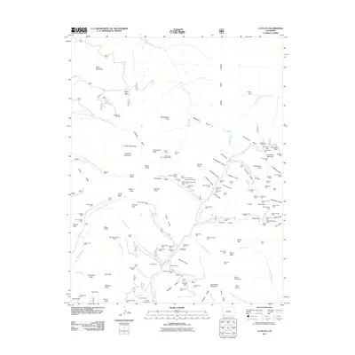
2011 Map of La Plata
USGS Topo · Published 2011About this map
La Plata sits at the heart of a high-altitude mining district where the La Plata River cuts through the steep terrain of the La Plata Mountains. This 2011 survey shows a landscape heavily marked by its mineral history, with a high concentration of named claims and shafts like the Georgia Girl Mine, Lady Stafford Mine, and the La Plata Mine. The presence of the Gold King Mill and various placers, such as the East Mancos River Placers, indicates the scale of ore processing that once dominated these canyons.
Find a feature on this map
152 named features on this map. Tap any name to fly to it.
Don’t see what you’re looking for? This feature index may not catch every label — zoom into the map to look around manually.
Map Details
Editions of this 2011 La Plata Map
This is the sole edition of this map. No revisions or reprints were ever made.
Other maps of this area

1895 · La Plata
USGS Topo · 1:62,500

1897 · La Plata
USGS Topo · 1:62,500

1897 · Rico
USGS Topo · 1:62,500

1898 · Durango
USGS Topo · 1:62,500

1898 · Engineer Mountain
USGS Topo · 1:62,500

1898 · Rico
USGS Topo · 1:62,500

1899 · La Plata
USGS Topo · 1:62,500

1899 · Rico
USGS Topo · 1:62,500

1900 · Engineer Mountain
USGS Topo · 1:62,500

1907 · Durango
USGS Topo · 1:62,500