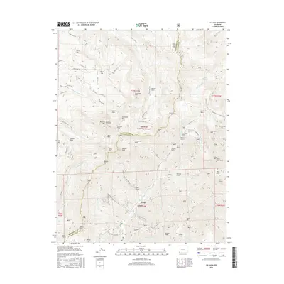
2016 Map of La Plata
USGS Topo · Published 2016About this map
San Juan National Forest defines this high-altitude landscape where the La Plata Mountains rise sharply across the boundary of Montezuma and La Plata counties. The settlement of La Plata sits at the heart of a complex drainage system, where the La Plata River meets tributaries like Boren Cr and Basin Cr. This era shows a land defined by recreational and historical access, with numerous routes such as the La Plata Canyon Jeep Trail and Boren Creek Jeep Trail navigating the steep basins and ridges.
Find a feature on this map
92 named features on this map. Tap any name to fly to it.
Don’t see what you’re looking for? This feature index may not catch every label — zoom into the map to look around manually.
Map Details
Editions of this 2016 La Plata Map
This is the sole edition of this map. No revisions or reprints were ever made.
Other maps of this area

1895 · La Plata
USGS Topo · 1:62,500

1897 · La Plata
USGS Topo · 1:62,500

1897 · Rico
USGS Topo · 1:62,500

1898 · Durango
USGS Topo · 1:62,500

1898 · Engineer Mountain
USGS Topo · 1:62,500

1898 · Rico
USGS Topo · 1:62,500

1899 · La Plata
USGS Topo · 1:62,500

1899 · Rico
USGS Topo · 1:62,500

1900 · Engineer Mountain
USGS Topo · 1:62,500

1907 · Durango
USGS Topo · 1:62,500