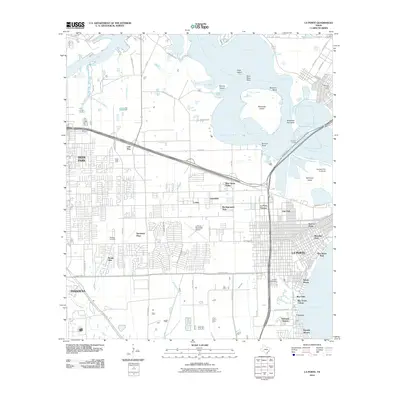
2010 Map of La Porte
USGS Topo · Published 2010About this map
Galveston Bay and the Upper San Jacinto Bay define this coastal landscape, where the waters of Buffalo Bayou and Tucker Bayou meet a heavily developed industrial and residential shoreline. This survey captures the complex intersection of maritime commerce and residential growth in the Houston area, featuring the Houston Port Authority and the Baytown Tunnel crossing. Residential neighborhoods like Brook Glen, Spenwick Place, and Lomax fill the spaces between major transit corridors, while older community anchors such as Betheny Cemetery and La Porte Cemetery provide genealogical depth. Significant landmarks like the La Porte Municipal Airport and the recreational stretch of Sylvan Beach sit alongside islands and peninsulas, including Alexander Island and Blackwell Peninsula, illustrating a coastal environment shaped by ship channels and residential expansion.
Find a feature on this map
81 named features on this map. Tap any name to fly to it.
Don’t see what you’re looking for? This feature index may not catch every label — zoom into the map to look around manually.
Map Details
Editions of this 2010 La Porte Map
This is the sole edition of this map. No revisions or reprints were ever made.
Other maps of this area

1915 · Deepwater
USGS Topo · 1:24,000

1916 · Genoa
USGS Topo · 1:24,000

1916 · Burnett Bay
USGS Topo · 1:24,000

1916 · Morgan Point
USGS Topo · 1:24,000

1916 · Seabrook
USGS Topo · 1:24,000

1916 · Fauna
USGS Topo · 1:24,000

1916 · Cedar Bayou
USGS Topo · 1:24,000

1916 · La Porte
USGS Topo · 1:24,000

1919 · Morgan Point
USGS Topo · 1:31,680

1919 · Deepwater
USGS Topo · 1:31,680