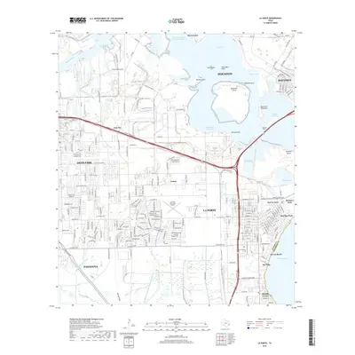
2019 Map of La Porte
USGS Topo · Published 2019About this map
La Porte sits at the nexus of the industrial Gulf Coast, where the Houston Ship Channel meets the waters of Upper San Jacinto Bay. This survey illustrates the dense residential street grids of Deer Park and Pasadena alongside the heavy maritime infrastructure required for the Houston/Galveston Navigation Channel. The landscape is a complex assembly of inlets and islands, including Alexander Island and Goat Island, which shape the navigation paths through Scott Bay and Mitchell Bay.
Find a feature on this map
141 named features on this map. Tap any name to fly to it.
Don’t see what you’re looking for? This feature index may not catch every label — zoom into the map to look around manually.
Map Details
Editions of this 2019 La Porte Map
This is the sole edition of this map. No revisions or reprints were ever made.
Other maps of this area

1915 · Deepwater
USGS Topo · 1:24,000

1916 · Genoa
USGS Topo · 1:24,000

1916 · Burnett Bay
USGS Topo · 1:24,000

1916 · Morgan Point
USGS Topo · 1:24,000

1916 · Seabrook
USGS Topo · 1:24,000

1916 · Fauna
USGS Topo · 1:24,000

1916 · Cedar Bayou
USGS Topo · 1:24,000

1916 · La Porte
USGS Topo · 1:24,000

1919 · Morgan Point
USGS Topo · 1:31,680

1919 · Deepwater
USGS Topo · 1:31,680