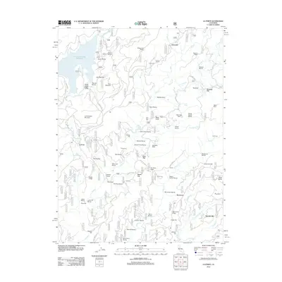
2012 Map of La Porte
USGS Topo · Published 2012About this map
La Porte and the surrounding Sierra County mining districts are documented in this 2012 study, where the landscape is defined by a dense network of ravines and historical settlements. The town of Gibsonville sits at the northern end of Gibsonville Ridge, while the eastern side of the quadrangle shows the remote locations of Howland Flat and Potosi along Potosi Cr. This area is notable for its numerous named flats and ravines, such as Spanish Flat and Deadwood Ravine, reflecting a geography heavily shaped by gold-era operations.
Find a feature on this map
93 named features on this map. Tap any name to fly to it.
Don’t see what you’re looking for? This feature index may not catch every label — zoom into the map to look around manually.
Map Details
Editions of this 2012 La Porte Map
This is the sole edition of this map. No revisions or reprints were ever made.
Other maps of this area

1888 · Bidwell Bar
USGS Topo · 1:125,000

1891 · Bidwell Bar
USGS Topo · 1:125,000

1891 · Downieville
USGS Topo · 1:125,000

1893 · Bidwell Bar
USGS Topo · 1:125,000

1893 · Downieville
USGS Topo · 1:125,000

1895 · Bidwell Bar
USGS Topo · 1:125,000

1895 · Downieville
USGS Topo · 1:125,000

1896 · Downieville
USGS Topo · 1:125,000

1897 · Bidwell Bar
USGS Topo · 1:125,000

1897 · Downieville
USGS Topo · 1:125,000