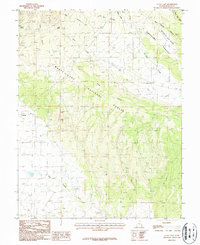
1987 Map of La Sal East
USGS Topo · Published 1987About this map
Manti-La Sal National Forest dominates this section of San Juan County, where high-elevation drainage systems like Deer Creek and La Sal Creek carve through the landscape. The map captures the dual identity of the region, balancing the established community of La Sal with the older site of Old La Sal further east. Resource extraction is a primary feature of the local economy during the late twentieth century, evidenced by the Snowball Mine, the La Sal Mine, and a large Gravel Pit.
Find a feature on this map
18 named features on this map. Tap any name to fly to it.
Don’t see what you’re looking for? This feature index may not catch every label — zoom into the map to look around manually.
Map Details
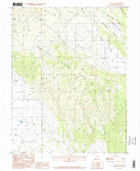
Editions of this 1987 La Sal East Map
2 editions found
Other maps of this area

1885 · La Sal
USGS Topo · 1:250,000

1954 · Mt Peale 1 SE
USGS Topo · 1:24,000

1954 · Mt Peale 1 NE
USGS Topo · 1:24,000

1954 · Mt Peale 4 NE
USGS Topo · 1:24,000

1954 · Mt Peale 4 NW
USGS Topo · 1:24,000

1954 · Mt Peale 3 NE
USGS Topo · 1:24,000

1954 · Mt Peale 1 SW
USGS Topo · 1:24,000

1954 · Mt Peale 1 NW
USGS Topo · 1:24,000

1954 · Mt Peale 2 SE
USGS Topo · 1:24,000

1954 · Mt Peale 2 NE
USGS Topo · 1:24,000