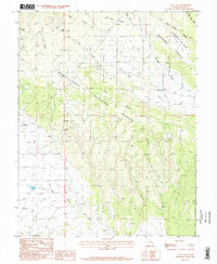
1987 Map of La Sal East
USGS Topo · Published 1987About this map
La Sal and its predecessor, Old La Sal, anchor this high-desert landscape within the Manti-La Sal National Forest during the late 1980s. The region's industrial character is defined by the presence of the Snowball Mine and La Sal Mine, located near the base of the prominent Pine Ridge. The map illustrates a network of rugged resource extraction and travel, including a Landing Strip and various water sources such as Coyote Spring and Deer Spring that were vital in this arid terrain.
Find a feature on this map
21 named features on this map. Tap any name to fly to it.
Don’t see what you’re looking for? This feature index may not catch every label — zoom into the map to look around manually.
Map Details
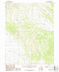
Editions of this 1987 La Sal East Map
2 editions found
Other maps of this area

1885 · La Sal
USGS Topo · 1:250,000

1954 · Mt Peale 1 SE
USGS Topo · 1:24,000

1954 · Mt Peale 1 NE
USGS Topo · 1:24,000

1954 · Mt Peale 4 NE
USGS Topo · 1:24,000

1954 · Mt Peale 4 NW
USGS Topo · 1:24,000

1954 · Mt Peale 3 NE
USGS Topo · 1:24,000

1954 · Mt Peale 1 SW
USGS Topo · 1:24,000

1954 · Mt Peale 1 NW
USGS Topo · 1:24,000

1954 · Mt Peale 2 SE
USGS Topo · 1:24,000

1954 · Mt Peale 2 NE
USGS Topo · 1:24,000