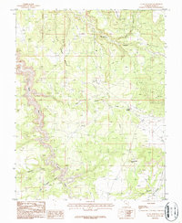
1987 Map of La Sal Junction
USGS Topo · Published 1987About this map
La Sal Junction serves as the primary landmark in this 1987 survey of the San Juan County high desert, situated near the intersection of local routes and a specialized Landing Strip. The landscape is defined by its industrial and utility infrastructure, including several Pipelines, a Pumping Station, and a prominent Radio Tower. These modern additions contrast with the ancient geology of the Colorado Plateau, represented by the towering Flat Iron Mesa and the distinctive formation of Looking Glass Rock.
Find a feature on this map
19 named features on this map. Tap any name to fly to it.
Don’t see what you’re looking for? This feature index may not catch every label — zoom into the map to look around manually.
Map Details
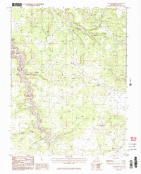
Editions of this 1987 La Sal Junction Map
2 editions found
Other maps of this area

1885 · La Sal
USGS Topo · 1:250,000

1954 · Mt Peale 3 NW
USGS Topo · 1:24,000

1954 · Mt Peale 3 NE
USGS Topo · 1:24,000

1954 · Mt Peale 2 SW
USGS Topo · 1:24,000

1954 · Mt Peale 2 NW
USGS Topo · 1:24,000

1954 · Mt Peale 2 SE
USGS Topo · 1:24,000

1954 · Carlisle 1 NE
USGS Topo · 1:24,000

1954 · Carlisle 1 SE
USGS Topo · 1:24,000

1954 · Mt Peale 2 NE
USGS Topo · 1:24,000

1954 · Carlisle 4 NE
USGS Topo · 1:24,000