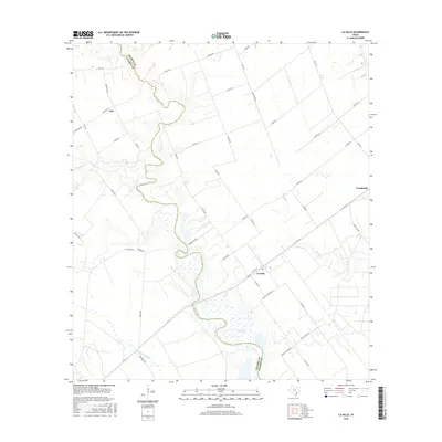
2016 Map of La Salle
USGS Topo · Published 2016About this map
Garcitas Creek defines the boundary between Victoria and Jackson counties, winding through a landscape shaped by coastal prairie hydrology and rural land divisions. This 2016 survey captures the settlement patterns of La Salle, Vanderbilt, and Inez, where modern farm-to-market roads and county routes intersect with legacy ranching infrastructure. Numerous smaller waterways, including Arenosa Cr, Venado Cr, and Kentucky Mutt Cr, carve through the terrain, illustrating the intricate drainage system feeding toward the Gulf. The map reveals the persistence of established landholdings through labels like H K Ranch Rd and indicates local access points to the water such as Lasalle Landing Rd. This detailed record preserves the 21st-century configuration of these Texas communities, showing the relationship between small residential centers and the surrounding agricultural and riparian environments.
Find a feature on this map
48 named features on this map. Tap any name to fly to it.
Don’t see what you’re looking for? This feature index may not catch every label — zoom into the map to look around manually.
Map Details
Editions of this 2016 La Salle Map
This is the sole edition of this map. No revisions or reprints were ever made.
Other maps of this area

1951 · Inez
USGS Topo · 1:24,000

1952 · Manson
USGS Topo · 1:24,000

1952 · Point Comfort
USGS Topo · 1:24,000

1952 · Edna
USGS Topo · 1:24,000

1952 · Kamey
USGS Topo · 1:24,000

1952 · La Salle
USGS Topo · 1:24,000

1952 · Marcado Creek
USGS Topo · 1:24,000

1952 · Placedo
USGS Topo · 1:24,000

1952 · Lolita
USGS Topo · 1:24,000

1953 · Beeville
USGS Topo · 1:250,000